
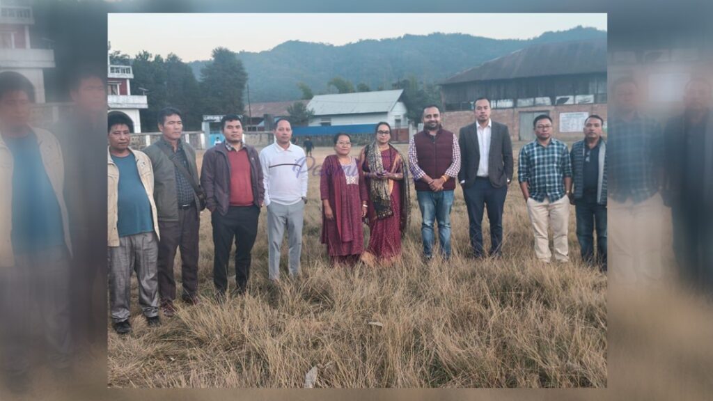
In a significant step toward strengthening digital governance in agriculture, a joint team from the Department of Agriculture & Farmers Welfare (DA & FW) conducted a detailed field survey in Keithelmanbi and Daili villages of Kangpokpi district on Wednesday.
The team was led by Shri Ravi Ranjang Singh, Director, and Ms. Sarita Tirumala from the Central Programme Management Unit (CPMU). They were joined by Mohd. Yasser Ahmed Khan, Joint Secretary (Agriculture), Lamginlun Vaiphei, SDC Champhai, and L. S. Lavei James, District Agriculture Officer, Senapati/Kangpokpi, along with technical and field staff.
Focus on Farmer Registry and Digital Crop Survey
The joint visit had a clear technical objective: to assess the existing farming rights management system, evaluate the ground-level preparedness for farmer registration into the National Farmer Registry, and lay the foundation for geo-referenced village mapping to support the Digital Crop Survey (DCS).
Officials interacted with local farmers, village authorities, and field-level staff to understand:
-
Land ownership and land-use documentation
-
Crop pattern records
-
Existing farmer database gaps
-
Challenges in digital onboarding at the village level
Special emphasis was placed on ensuring that farmers are accurately registered in the Farmer Registry, which will serve as the backbone for accessing future government schemes, crop insurance, direct benefit transfers, and credit facilities.
Geo-Referenced Mapping and Farm IDs
Another core component of the survey involved guiding state teams on the preparation of geo-referenced village maps. These digital maps will enable precise crop enumeration and real-time monitoring under the Digital Crop Survey framework.
Officials also reviewed the ground process required for the creation of unique Farm IDs, which will digitally link each land parcel to its rightful cultivator. Farm IDs are expected to:
-
Eliminate duplication in beneficiary databases
-
Prevent misuse of subsidies
-
Improve transparency in agricultural support delivery
-
Enable data-driven crop planning
Model Villages for Digital Transformation
Keithelmanbi and Daili villages have been identified as model villages in Kangpokpi district for implementing advanced agricultural management systems and digital initiatives. Lessons learned from these pilot sites will later be replicated across other parts of the district and the State.
Senior officials said the choice of model villages is critical for testing technology adoption, farmer participation, and administrative coordination before large-scale rollout.
Strengthening Farmer–Government Interface
During interactions with farmers, the visiting team explained how digital registration and geo-mapping would directly benefit cultivators by:
-
Ensuring timely crop compensation
-
Enabling transparent subsidy delivery
-
Improving access to institutional credit
-
Supporting scientific crop planning and disaster assessment
Farmers raised queries regarding land documentation, internet access, and digital literacy, which the officials noted for integration into the implementation strategy.
A Step Toward Data-Driven Agriculture
The joint survey reflects the State’s growing push toward data-backed agricultural governance. With climate variability, land fragmentation, and input cost pressures affecting hill and valley farmers alike, officials stressed that digital tools are no longer optional but essential.
With Keithelmanbi and Daili now serving as digital agriculture pilots for Kangpokpi, the district is poised to become one of the early adopters of fully integrated Farmer Registry, Digital Crop Survey, and Farm ID systems in Manipur.